Description
General
The system is developed in close cooperation with the Norwegian Public Roads Administration (NPRA). ViaPPS meets the requirements for the measurement of road surfaces set by the NPRA and the requirements stated in the following standards:
- ASTM E-1448-92
- European standard – Road and Airfield surface characteristics EN 13036-8
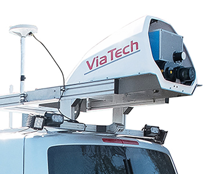
The NPRA and the counties of Norway have 15 ViaPPS systems in use. Private companies are also using ViaPPS for documentation of the condition of highway, road and airport pavements. The new ViaPPS uses LiDAR technology, a 360° laser scanner, to create a high – resolution 3D point cloud. The LiDAR technology allows the ViaPPS to measure far more parameters than existing technologies.
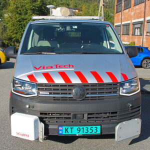
The point cloud created by the laser scan is used to evaluate the conditions of the pavement and the side area, the automatic report is instantly available. The whole system is mounted on a vehicle, such as a van, car, truck or trailer.
ViaPPS surveys over 100 000 km every year, and has a proven reliability since 2006. The ViaPPS offers: Automatic inspection of roads, 3D mapping, Automatic reports and instantly available data. All in one system. A high–resolution camera, a advanced point cloud and accurate positioning of data provide reliable results. Our customers believe ViaPPS to be very cost efficient for maintaining the road networks. The system measures surface parameters equal to what are normally measured by three vehicles.
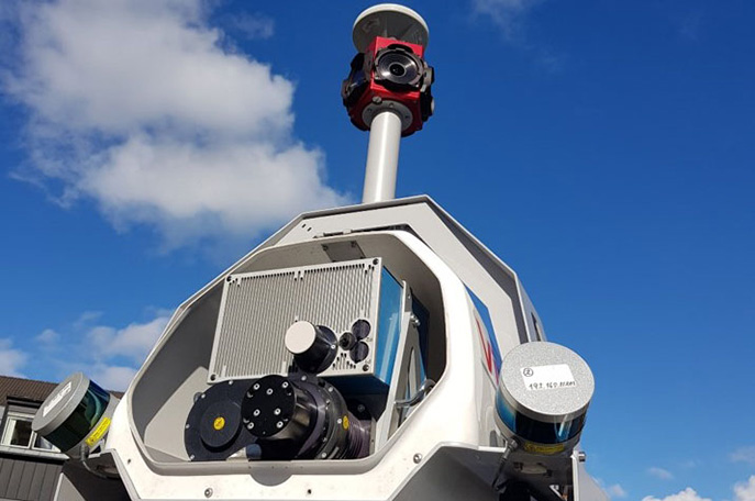
Sensor rack
Mobile mapping system
ViaPPS can also be used for:
- Accident investigation
- Examining Tunnel and Side area conditions
- 3D modeling of road network with LAS format to be integrated in BIM
- Export to Orbit GT, Horus, Paver
Technology
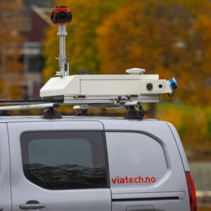
The laser scanner used by ViaTech, the Z+F PROFILER® 9012A or the new 9020, is capable of capturing more than 1 million points per second. The laser scanner is of laser class 1, making it eye safe. The high resolution of the point cloud helps create a clear image of the pavement and its condition. The ViaPPS system combines laser scanner data and GNSS data to produce accurate 3D point clouds, where each point has x, y and z positions in world coordinates. In addition to this scanner, the ViaPPS may be augmented with a pair of Velodyne scanners and a 360° camera. This is used to make a complete mobile mapping system. An additional laser may be added for IRI and Macrotexture measurements.
The point cloud can be used together with the ViaPPS data analysis software (ViaPPS Analyzer) to detect the following parameters of the road automatically:
- Bad joints of the asphalt
- Quality of the road markings
- Curve radius
- IRI and MPD
- Homogeneity
- Longitudinal and transversal profile
- Rut depth, rut area and rut volume
- Cross fall and Cross fall vs. Requirement
- Local longitudinal deflection and bumps
- Width of the lane (input to calculations also)
- Crack parameters (Crack level, Crack area level, position)
- Vertical height to bridges/crossings or in tunnels
- Maximum local cross fall in lane that can be of danger for driver
- Raveling
These can be included in the report as well, which is written in .csv format suitable for Microsoft excel and ViaPPS analyzer software and is instantly available. In addition, the user may choose to have the data exported as a customer-specific format if needed. ViaTech has provided support for numerous different formats at the request of clients.
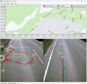
ViaPPS Analyzer is used to provide a graphical presentation of the reports generated by ViaPPS Desktop. ViaPPS Analyzer makes it easy to study measurements or to compare several measurements.
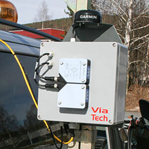
ViaPPS uses POS LV from Applanix, the position and orientation system is compact and fully integrated, utilizing integrated inertial technology to generate stable, reliable and repeatable positioning solutions for land-based vehicle applications. It is designed to operate under the most difficult GPS conditions found in urban and suburban environments. POS enables accurate positioning for road geometry, pavement inspection, GIS database and asset management, road surveying, and vehicle dynamics. POS includes the following components, IMU, PCS, DMI, GNSS Receivers, GNSS Antennas.
Output data
Files of interest
MoT India Presentation about ur ongoing affairs with India

