

Customer Case – Alver Municipality
Comprehensive Mapping of the Municipal Road Network Using ViaPPS
Background:
In 2025, Alver Municipality conducted a procurement process for the collection of 360° road imagery and condition assessment of the municipal road network. The assignment covered both carriageways and pedestrian and cycle paths, with the objective of establishing a complete and up-to-date data foundation for the ongoing management of the road infrastructure.
ViaTech AS was awarded the contract and carried out a full survey of the entire municipal road network.
Solution:
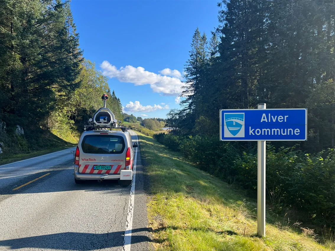
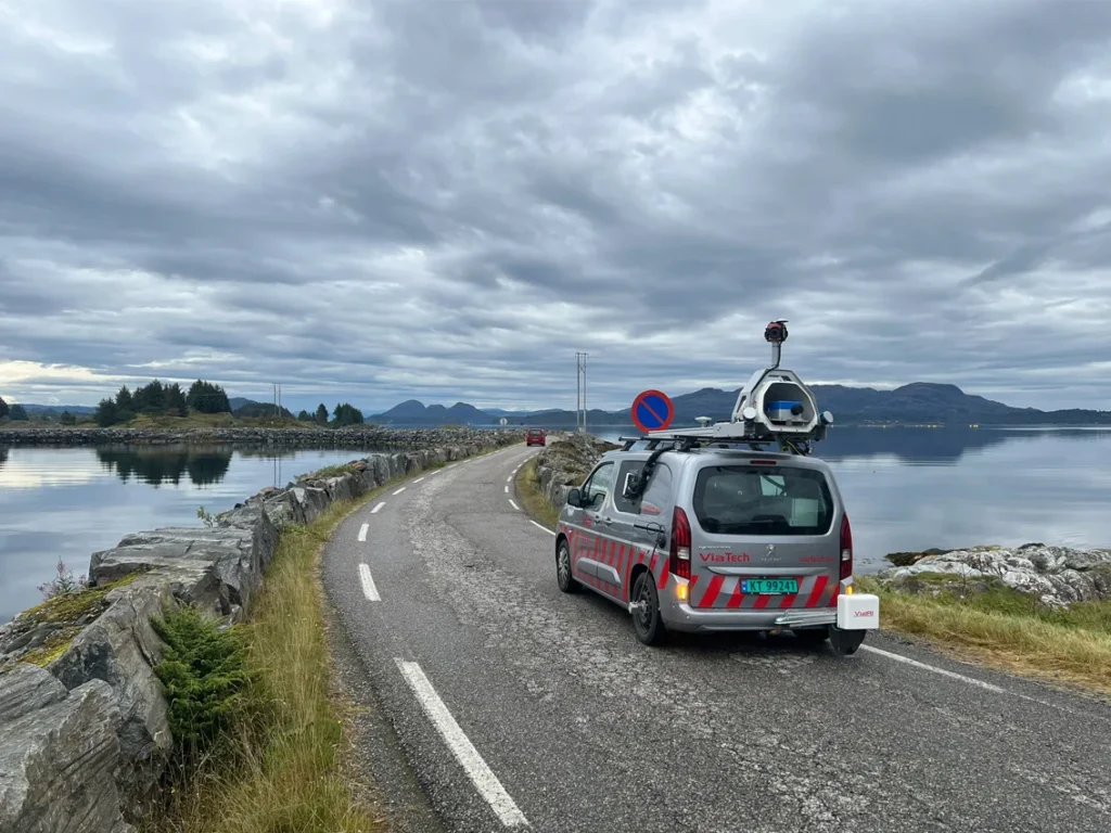
The project was carried out using ViaPPS (Pavement Profile Scanner), ViaTech’s proprietary measurement system for inspection and documentation of road surfaces and adjacent areas. The system was developed in cooperation with the Norwegian Public Roads Administration and has been in continuous operational use in Norway since 2006.
The delivery included:
• 360° road imagery of the entire municipal road network
• Road condition assessment
• Measurement of carriageways, pedestrian paths, and cycle paths
• Uniform data collection across the entire municipality in a single, coordinated operation
• ViaPPS combines laser scanning, high-resolution cameras, and precise GNSS positioning to collect a detailed, objective, and fully traceable data set.
RESULTS
Alver Municipality now has:
• Complete and consistent documentation of the entire municipal road network
• A shared data foundation for operations, maintenance, and planning
• Digital road imagery and measurement data covering all relevant road types
• A solid basis for further analysis without the need for additional field surveys
By completing the entire survey in a single operation, the resulting data set is homogeneous, comparable, and well suited for long-term use.
Further Analysis and Use of Data
As the full road network was surveyed using ViaPPS, Alver Municipality can further utilize the data for:
• Supplementary condition analyses and thematic data extraction
• Prioritization of maintenance and improvement measures
• Comparison of road condition over time through future measurements
This provides the municipality with flexibility to perform additional analyses as needed, without the requirement for new data collection.
Summary
The assignment for Alver Municipality demonstrates how a comprehensive ViaPPS survey can provide:
• Efficient and holistic documentation of the entire road network
• A long-term digital foundation for further analysis and decision support
• A delivery that can be reused and expanded over time


Post a comment